
Listen to this Post
Introduction: When Maps Become a Target
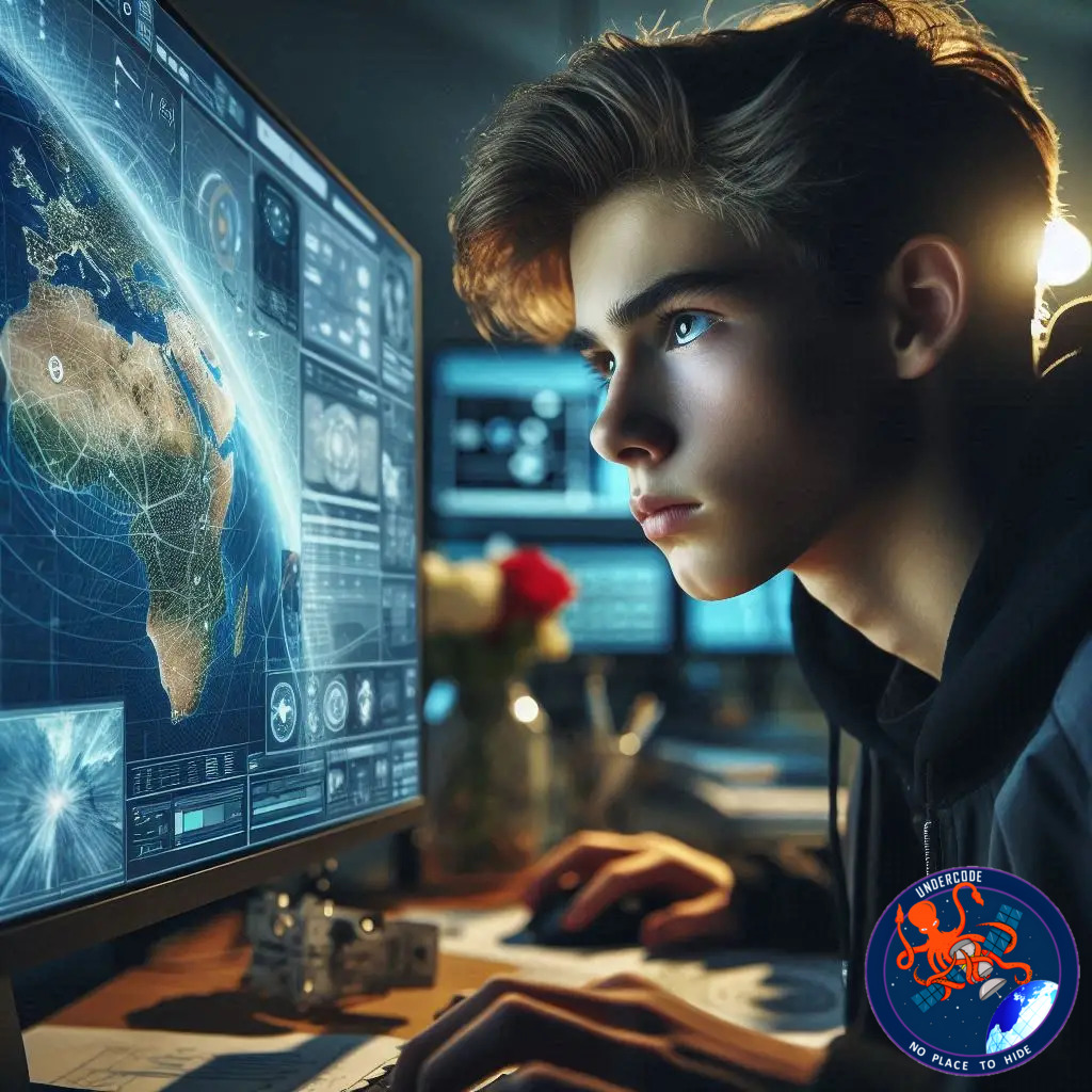
Artificial intelligence has already shaken public trust in videos, photos, and voices. Yet one critical layer of reality remains largely unquestioned: satellite imagery. Governments plan infrastructure around it. Emergency teams rely on it during disasters. Corporations use it to guide investments and logistics. This article explores how a 17-year-old researcher uncovered a silent vulnerability in that system, and why manipulated maps may become one of the most dangerous forms of AI deception in the coming decade.
Origins of a Security Wake-Up Call
Vaishnav Anand did not begin his work from academic curiosity alone. His motivation was personal. After being targeted by a deepfake, the emotional shock forced him to confront how convincingly artificial intelligence can distort reality. That moment shifted his focus away from typical deepfake victims like celebrities and toward a less visible but far more consequential target: geospatial data.
From Personal Threat to Public Risk
While many people learn to doubt viral videos, Anand noticed that satellite imagery still enjoys near-absolute trust. Maps feel authoritative. They carry an implicit promise of objectivity. Anand questioned what would happen if that trust were exploited, not to embarrass individuals, but to mislead institutions that quietly depend on spatial intelligence every day.
Questioning the Invisible Infrastructure
Satellite imagery underpins disaster response, military planning, environmental monitoring, and economic forecasting. Anand realized that altering this data could mean faking floods, concealing infrastructure weaknesses, or hiding strategic assets. Even subtle manipulation could cascade into flawed policy decisions with real-world consequences.
Research Takes Shape at the Academic Level
Driven by these concerns, Anand transformed his idea into a formal research project. He presented his findings at the IEEE Undergraduate Research Technology Conference hosted at MIT, an unusual achievement for a high school student. His work focused on detecting AI-altered satellite images before they influence public or governmental decisions.
A Field with Alarming Gaps
Despite the stakes, Anand discovered that research on manipulated satellite imagery remains sparse. Only a handful of academic papers have examined what some scientists now call deepfake geography. One early study demonstrated how AI could merge features from different cities into convincing but entirely false landscapes.
Learning Precision Through Geospatial Discipline
Anand’s background with the National 4-H Geospatial Team trained him to treat every pixel as data. Maps were no longer images, but layered systems of measurements, patterns, and assumptions. This mindset proved essential when examining how artificial images diverge from authentic satellite captures.
Why Geospatial Deepfakes Are Harder to Spot
Unlike manipulated photos of people, maps do not trigger instinctive skepticism. They lack emotional cues and facial inconsistencies. Anand argues this makes geospatial deepfakes uniquely dangerous, as most viewers assume spatial data has already been verified by experts upstream.
National Security Beyond the Battlefield
Anand frames satellite imagery as a national security asset. Altering even a small portion of it could distort infrastructure planning, emergency preparedness, or intelligence analysis. The risk is not limited to military deception, but extends into civilian governance and economic stability.
Erosion of Trust as the Core Threat
Beyond technical damage, Anand emphasizes a deeper issue: trust. When maps can no longer be believed, journalism suffers, democratic decision-making weakens, and public truth erodes. The danger lies not only in deception, but in the uncertainty it leaves behind.
Awareness as the First Line of Defense
Anand advocates a cultural shift toward verification. He warns that creating a convincing forgery often requires minimal data. His message is not paranoia, but informed skepticism. Images should be treated as claims, not facts.
The Mechanics of Detecting Fake Geography
His research analyzes how different AI image generators leave behind distinct fingerprints. GAN-based systems and diffusion models follow different creation paths, and those paths introduce structural inconsistencies invisible to casual observers but detectable through forensic analysis.
Structural Patterns Over Surface Errors
Rather than hunting obvious glitches, Anand focuses on deep structural signals. Real satellite images contain consistent spatial relationships shaped by physics, sensors, and orbital constraints. AI-generated images often miss or distort these foundational patterns.
The Cat-and-Mouse Reality of AI Defense
Anand acknowledges that detection always trails generation. New models emerge faster than safeguards. This makes geospatial deepfake detection an ongoing discipline rather than a solved problem, one that must evolve alongside AI itself.
Education as a Parallel Mission
Beyond research, Anand turned to education. He authored Tech Demystified: Cybersecurity to translate digital safety concepts into practical guidance for non-experts. His goal was empowerment, not technical intimidation.
Ethics and Community Engagement
At his high school, Anand founded a Tech and Ethics club to examine how innovation and responsibility intersect. He also engages with professionals at geospatial and intelligence forums, stress-testing his ideas against real-world expertise.
From Frustration to Purpose
What began as a personal violation evolved into a mission to protect institutional trust. Anand’s work demonstrates that impactful cybersecurity research does not require permission, only curiosity and persistence.
What Undercode Say:
The most unsettling insight in this story is not the technology itself, but how quietly trust has been centralized. Satellite imagery functions as a single source of truth for systems that rarely question its authenticity. That creates a structural vulnerability larger than any single exploit.
Geospatial deepfakes represent a shift from emotional manipulation to systemic manipulation. A fake video humiliates. A fake map governs. This distinction matters because institutions respond slower than individuals, and their errors propagate further.
Anand’s emphasis on foundational patterns rather than surface artifacts reflects a mature understanding of AI evolution. As models improve, visual flaws disappear. Structural inconsistencies rooted in data generation pipelines are far harder to erase.
There is also a cultural blind spot at play. Maps carry historical authority. They have always been symbols of power, ownership, and truth. AI challenges that legacy by turning cartography into a malleable narrative.
What makes Anand’s work particularly valuable is its interdisciplinarity. He blends cybersecurity, geospatial science, ethics, and education. That combination mirrors the real-world environment where threats rarely stay confined to one domain.
The lack of existing research in deepfake geography should be treated as a warning signal. Attackers explore neglected spaces first. Defense often arrives only after damage becomes visible.
His focus on education deserves equal weight to his technical research. Tools alone do not preserve trust. Literacy does. Without widespread understanding, even the best detection systems will be ignored or misunderstood.
Finally, this case reinforces a recurring truth in cybersecurity. The most meaningful innovations often emerge from lived experience. Personal impact sharpens perception, and perception drives relevance.
Fact Checker Results
✅ The concept of AI-generated satellite manipulation is supported by existing academic research.
✅ GANs and diffusion models do leave distinguishable forensic patterns.
❌ Public awareness of geospatial deepfakes remains significantly lower than other AI threats.
Prediction
📊 Governments will begin integrating geospatial deepfake detection into intelligence pipelines.
📊 Demand for satellite image forensics will rise alongside AI-generated mapping tools.
📊 Trust frameworks, not just detection algorithms, will define the future of spatial intelligence.
▶️ Related Video (78% Match):
🕵️📝✔️Let’s dive deep and fact‑check.
References:
Reported By: www.darkreading.com
Extra Source Hub (Possible Sources for article):
https://www.github.com
Wikipedia
OpenAi & Undercode AI
Image Source:
Unsplash
Undercode AI DI v2
Bing
🔐JOIN OUR CYBER WORLD [ CVE News • HackMonitor • UndercodeNews ]
📢 Follow UndercodeNews & Stay Tuned:
𝕏 formerly Twitter 🐦 | @ Threads | 🔗 Linkedin | 🦋BlueSky | 🐘Mastodon


