
Listen to this Post
Introduction: A Landscape Pushed Beyond Its Limits
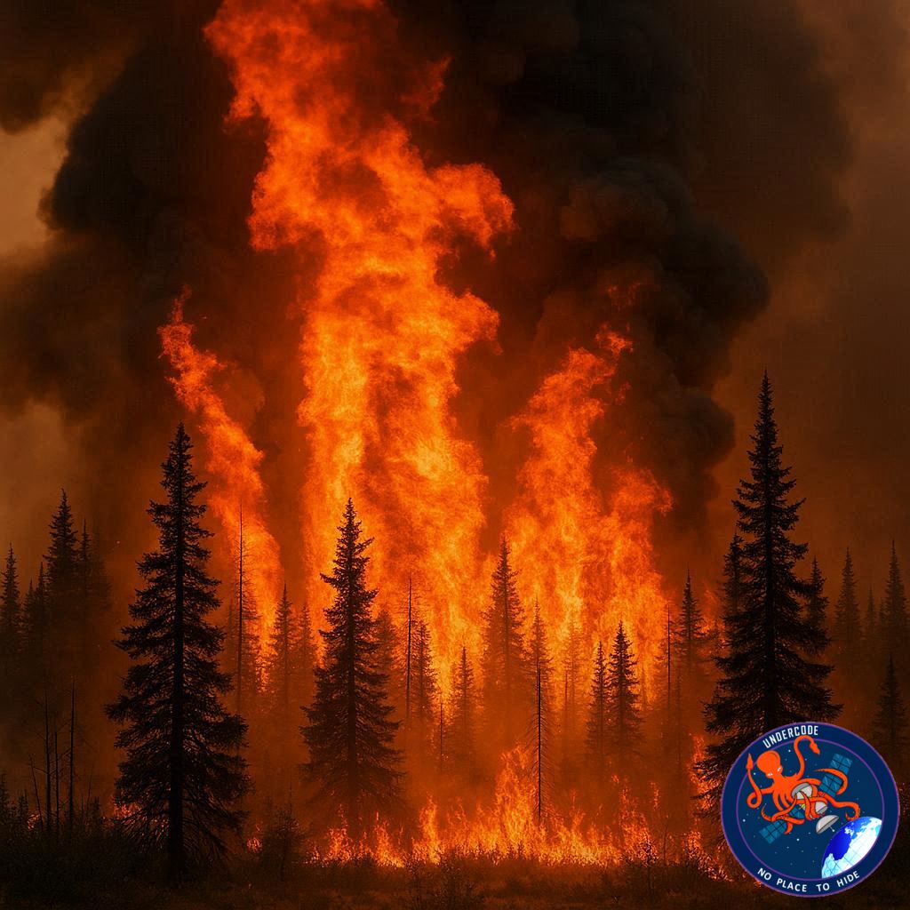
In recent years, the boreal regions of northern Canada have been thrust into an era of climate extremes that scientists once considered rare. The catastrophic 2023 wildfire season, driven by unprecedented drought conditions, reshaped vast areas of uplands and wetlands across the Northwest Territories. Two years later, the scars remain visible, active fires still burn, and researchers are racing against time to understand what has changed—and what may never return. This article follows a Michigan Tech Research Institute (MTRI) field campaign conducted under NASA’s Arctic-Boreal Vulnerability Experiment (ABoVE), offering a detailed look at how peatlands and forests responded to extreme fire, and why these findings matter far beyond the Arctic.
Summary of the Original Field Campaign and Findings
Arrival in Yellowknife and Research Goals
In late July 2025, a five-person MTRI field team arrived in Yellowknife to begin a nine-day campaign examining the long-term impacts of the 2023 drought and wildfire season. Their primary focus was on peatlands—carbon-rich bogs and fens that have historically acted as natural fire buffers. The team aimed to measure burn severity, peat combustion depth, and early-stage vegetation recovery, particularly the regeneration potential of black spruce.
First Encounters with Burned Peatlands
The campaign began under smoky skies, a reminder that wildfires were still active across the region. Researchers visited burned peatland sites near Yellowknife, many experiencing fire for the first time in recorded history. Training sessions focused on standardized methods to assess fire damage, including soil pits, root collar inspections, and vegetation surveys. Even for veteran scientists, the extent of burning was unprecedented.
Comparing Burned and Unburned Ecosystems
Unburned peatlands provided critical reference points. These intact sites revealed deep, cushiony organic soils and healthy moss layers, sharply contrasting with the charred, brittle surfaces of burned areas. Observations of adventitious roots on black spruce trees allowed researchers to estimate how deeply fires penetrated the organic layers.
Travel South Through Active Fire Zones
As the team traveled toward Hay River, smoke thickened and roadside fires flared from airborne embers. Along the way, unburned peatlands were surveyed to map moss distribution, particularly sphagnum and feather moss. Sphagnum’s ability to retain moisture even during drought highlighted its role in suppressing fire spread—an ecosystem service now under threat.
Upland Burn Severity and Tree Analysis
In Hay River, the team examined a severely burned upland site previously sampled by Canadian agencies. Deep soil combustion had toppled entire stands of trees. Large tree cross-sections were collected to determine stand age and historical fire intervals, providing context for how abnormal the 2023 fires were.
Indigenous Knowledge and Fire Behavior
Meetings with elders from K’atl’oDeeche First Nation added critical insight. Elders described hurricane-force winds that drove fires so fast satellites failed to detect them in real time. Entire landscapes were consumed within hours, permanently altering places remembered for generations. Researchers committed to sharing findings with the community.
Expanding the Study Across Regions
Over subsequent days, the team sampled burned and recovering sites while traveling between Fort Smith, Hay River, and Wood Buffalo National Park. Smoke, heat, and long hours defined the work. In many fens, rapid shrub regrowth masked burn evidence, requiring careful soil and root inspections to confirm fire severity.
Mapping Challenges and Permafrost Discoveries
Inaccurate peatland maps forced the team to rely heavily on field reconnaissance. Stunted, leaning black spruce and shallow permafrost layers guided site selection. Soil pits revealed peat depths ranging from 40 centimeters to over three meters, underscoring the massive carbon stores at risk.
Advanced Remote Sensing Integration
Field data were paired with satellite imagery, including radar and Landsat datasets, to validate burn severity algorithms originally developed after the 2014 wildfires. Researchers documented ash depth and color, key indicators of combustion intensity, and discovered unusually thick ash layers in some peatlands.
Final Days and Early Signs of Recovery
By the final days, food supplies were low and fires had advanced into areas previously unburned just a week earlier. Vegetation surveys showed shrub dominance, scattered pine and birch seedlings, and very few black spruce seedlings—raising concerns about long-term forest composition shifts. The campaign concluded in Yellowknife, with samples shipped for laboratory analysis and a sobering recognition of how quickly northern landscapes are changing.
What Undercode Say: Why This Research Signals a Turning Point
Peatlands Are Losing Their Fire-Resistant Identity
For decades, peatlands were considered natural fire breaks due to their high moisture content. This field campaign provides compelling evidence that prolonged drought can override that protection. Once peat ignites, fires become deeper, hotter, and far more destructive than surface burns in upland forests.
Carbon Feedback Loops Are No Longer Theoretical
Peatlands store enormous amounts of carbon accumulated over thousands of years. When these layers burn, carbon is released rapidly into the atmosphere, accelerating climate warming. This creates a feedback loop: warmer temperatures drive drought, drought fuels fires, and fires release more carbon.
Repeat Burning Is a Critical Red Flag
Several sites burned in both 2014 and 2023, indicating that recovery intervals are shrinking. Ecosystems that once needed centuries to rebuild organic layers may now reburn before stabilization, fundamentally altering soil structure and vegetation pathways.
Vegetation Shifts Could Redefine Boreal Forests
The scarcity of black spruce seedlings suggests that post-fire regeneration may favor shrubs and deciduous species. This shift would change albedo, moisture retention, and wildlife habitat, potentially locking landscapes into a new ecological state.
Fire Management Assumptions Are Breaking Down
Fire managers reported that recently burned areas and wetlands no longer reliably stop fire spread. This challenges long-standing suppression strategies and increases risk to northern communities that historically relied on natural barriers for protection.
Indigenous Knowledge Fills Satellite Blind Spots
The failure of satellites to detect fast-moving fires highlights the importance of local observations. Indigenous accounts provide temporal and behavioral details that remote sensing alone cannot capture, especially under extreme wind conditions.
Mapping and Data Gaps Increase Uncertainty
Inaccurate peatland maps complicate risk assessments and carbon accounting. The need for updated, high-resolution mapping is urgent, particularly as fire behavior diverges from historical patterns.
Training the Next Generation Is Now Mission-Critical
This campaign doubled as a training ground for early-career scientists. As climate extremes intensify, continuity in expertise will determine whether society can track, model, and respond to rapid environmental change.
The Boreal Is Becoming a Climate Frontline
What was once viewed as a stable, slow-changing biome is now one of the fastest-evolving regions on Earth. The 2023 wildfire season may be remembered as a threshold event rather than an anomaly.
Fact Checker Results
Drought and wildfire severity in 2023 reached record levels in the Northwest Territories. ✅
Peatlands historically functioned as fire-resistant ecosystems. ✅
Post-fire landscapes are returning to pre-2023 conditions within two years. ❌
Prediction
🔥 More peatland fires will occur even without record-breaking heat.
🌲 Black spruce dominance will decline in repeatedly burned regions.
📉 Northern peatlands will shift from carbon sinks to net carbon sources if current trends continue.
🕵️📝✔️Let’s dive deep and fact‑check.
References:
Reported By: science.nasa.gov
Extra Source Hub (Possible Sources for article):
https://www.reddit.com
Wikipedia
OpenAi & Undercode AI
Image Source:
Unsplash
Undercode AI DI v2
Bing
🔐JOIN OUR CYBER WORLD [ CVE News • HackMonitor • UndercodeNews ]
📢 Follow UndercodeNews & Stay Tuned:
𝕏 formerly Twitter 🐦 | @ Threads | 🔗 Linkedin | 🦋BlueSky | 🐘Mastodon


