
Listen to this Post
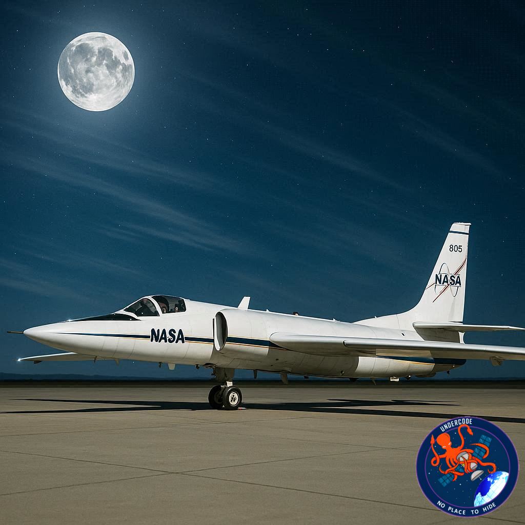
NASA has recently completed an innovative mission that leveraged moonlight to calibrate space-based sensors, enhancing their accuracy for Earth observation. From January 2026 through early February, the agency’s Airborne Lunar Spectral Irradiance (air-LUSI) instrument soared above the West Coast aboard NASA’s high-altitude ER-2 aircraft. This three-week campaign allowed scientists to measure the Moon’s brightness from nearly 70,000 feet—well above 95% of the Earth’s atmosphere—transforming the plane into a temporary lunar observatory.
Satellite sensors play a crucial role in modern life, tracking weather, monitoring agriculture, and assessing ecosystems to guide environmental and policy decisions. However, keeping these instruments precise is challenging, especially over long missions in space. By using the Moon as a natural calibration source, NASA can maintain sensor accuracy without adding bulky and costly calibration hardware onboard. Unlike the Sun, which is extremely bright and variable for sensor calibration, the Moon offers a steady, Earth-like light source that ensures consistency in measurements.
The air-LUSI project is the result of a multi-institution collaboration involving NASA, the National Institute of Standards and Technology (NIST), the U.S. Geological Survey (USGS), the University of Maryland, Baltimore County, and McMaster University in Ontario. Since its inception in 2022, air-LUSI missions have flown multiple campaigns to validate and refine sensor readings using the Moon’s predictable reflectivity. This approach helps guarantee that satellite data used to study weather patterns, crop conditions, and the health of Earth’s ecosystems remain accurate and reliable.
During each flight, the ER-2 aircraft carried the air-LUSI instrument high above the atmosphere, effectively eliminating interference from clouds, dust, or other atmospheric phenomena that can skew measurements. Moonlight was measured across multiple wavelengths, providing a precise calibration reference that can be directly applied to space-based sensors. These efforts ultimately improve the quality of data available for climate research, disaster monitoring, and environmental management worldwide.
The choice of moonlight as a calibration standard is strategic: the Moon’s surface reflects sunlight consistently, and its brightness aligns closely with the levels that satellite sensors are designed to detect. This provides a stable and reproducible standard across different instruments and missions. Additionally, using the Moon avoids the logistical and financial challenges of carrying dedicated calibration tools on each satellite, streamlining mission design and reducing costs.
Airborne calibration campaigns like this demonstrate the synergy between high-altitude aviation and space science. By pairing NASA’s ER-2, a platform capable of near-space altitudes, with precise optical instruments, scientists gain unparalleled flexibility in validating satellite performance before and during missions. The resulting data strengthens Earth observation programs, ensuring that governments, researchers, and industry rely on trustworthy information for environmental decision-making.
What Undercode Say:
The ER-2 air-LUSI mission is a brilliant example of leveraging natural celestial resources for scientific precision. Moonlight, often overlooked as a simple reflection of sunlight, serves as a remarkably stable calibration source due to its uniform surface reflectivity. By flying above most of the atmosphere, air-LUSI avoids the typical distortions that affect ground-based calibration, such as clouds, haze, or particulate matter.
This project reflects a larger trend in aerospace instrumentation: achieving high-accuracy measurements without burdening satellites with extra hardware. Spaceborne sensors are inherently limited by weight and power constraints, so using celestial standards like the Moon can save costs, improve operational flexibility, and extend mission lifetimes. Furthermore, the collaboration between NASA, NIST, USGS, and universities highlights the growing importance of multi-disciplinary partnerships in advancing Earth observation technologies.
The implications for climate science, agriculture, and environmental monitoring are significant. Accurate satellite data enables better predictive models for weather events, improved monitoring of crop health, and detailed assessments of ecosystems under stress. In addition, using a consistent reference like moonlight ensures that data from multiple satellites and different generations of instruments can be compared reliably over time, providing continuity in long-term Earth monitoring projects.
Another notable aspect is the adaptability of airborne calibration missions. Unlike spaceborne calibration systems, which must be planned years in advance, air-LUSI can be deployed flexibly to measure specific lunar phases or locations as needed. This allows NASA to respond dynamically to changes in sensor technology or mission requirements, effectively future-proofing calibration strategies.
Finally, this approach underscores a broader principle in observational science: the best calibration often comes from leveraging natural constants. Just as physicists use fundamental constants for laboratory precision, Earth scientists can now use the Moon as a universal benchmark, ensuring that satellites provide not just data, but highly trustworthy data. The ER-2 air-LUSI flights represent a forward-thinking fusion of aeronautics, astronomy, and Earth observation, demonstrating innovation with practical global impact.
Fact Checker Results:
✅ Moonlight provides a consistent calibration source due to stable reflectivity.
✅ ER-2 aircraft reached altitudes of ~70,000 feet to minimize atmospheric interference.
✅ air-LUSI missions are part of a multi-institutional collaboration including NASA, NIST, USGS, and universities.
Prediction:
🌙 Over the next decade, using celestial sources like the Moon for calibration may become standard practice for Earth-observing satellites.
📊 This method could significantly reduce mission costs while improving data accuracy for climate modeling, agriculture monitoring, and environmental research.
🚀 Airborne lunar calibration may inspire similar missions leveraging other natural references, such as planetary or stellar light, for next-generation space sensors.
If you want, I can also make a shorter, punchy version optimized for social media that captures the mission’s impact in 5–6 lines with emojis. Do you want me to do that?
🕵️📝✔️Let’s dive deep and fact‑check.
References:
Reported By: science.nasa.gov
Extra Source Hub (Possible Sources for article):
https://www.pinterest.com
Wikipedia
OpenAi & Undercode AI
Image Source:
Unsplash
Undercode AI DI v2
Bing
🔐JOIN OUR CYBER WORLD [ CVE News • HackMonitor • UndercodeNews ]
📢 Follow UndercodeNews & Stay Tuned:
𝕏 formerly Twitter 🐦 | @ Threads | 🔗 Linkedin | 🦋BlueSky | 🐘Mastodon


