
Listen to this Post
Introduction
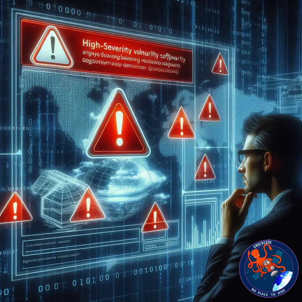
A fresh cybersecurity warning has rippled across the open-source geospatial community. The U.S. Cybersecurity and Infrastructure Security Agency (CISA) announced that a critical security weakness in OSGeo GeoServer has been added to its Known Exploited Vulnerabilities catalog. This move signals something serious: evidence suggests attackers are already taking advantage of the flaw. GeoServer sits at the heart of countless organizations’ mapping infrastructures, from environmental monitoring systems to corporate spatial dashboards. When a flaw this deep surfaces, the ripple effect spreads far beyond code repositories and developer chats. It touches anyone relying on geospatial intelligence to make real-world decisions.
Below is a deeply polished and expanded narrative that captures the story, its implications, and our expert analysis.
GeoServer’s High-Severity XXE Vulnerability Sparks New Security Urgency
CISA Raises the Alarm
CISA’s announcement places the spotlight on CVE-2025-58360, a significant XML External Entity (XXE) vulnerability affecting OSGeo GeoServer. The flaw, rated with a CVSS score of 8.2, has officially been added to the Known Exploited Vulnerabilities catalog—a list reserved for security defects confirmed to be actively abused.
Where the Vulnerability Exists
The problem sits in the GeoServer’s processing of XML input within the /geoserver/wms GetMap operation. This input pathway, meant for rendering maps on demand, becomes a dangerous doorway when XML external entities are not properly restricted.
Versions vulnerable include:
All builds up to and including 2.25.5
Versions 2.26.0 and 2.26.1
Patched versions are now available in:
2.25.6
2.26.2
2.27.0
2.28.0
2.28.1
Artificial intelligence-driven security platform XBOW was credited with discovering and reporting the issue.
Why the Flaw Matters
Improper XML entity handling is not a minor oversight. When exploited, it can enable attackers to pull off a range of damaging actions, including:
Accessing arbitrary files stored on the server
Executing Server-Side Request Forgery (SSRF) to probe internal networks
Triggering denial-of-service attacks by consuming server resources
In short, what starts as a simple XML request can escalate quickly into a multi-layered breach scenario.
Affected Package Ecosystem
The vulnerability impacts several widely deployed packages in the GeoServer stack:
docker.osgeo.org/geoserver
org.geoserver.web:gs-web-app
org.geoserver:gs-wms
Any deployment initialized using these packages—especially containerized installations—faces potential exposure.
Evidence of Exploitation Emerges
CISA’s update echoes reports from the Canadian Centre for Cyber Security. In a bulletin from November 28, 2025, the agency stated that an exploit for CVE-2025-58360 is already circulating in the wild. While there are no public indicators of how attackers are currently exploiting it, the simple confirmation of active abuse elevates the threat level immediately.
GeoServer’s Track Record Raises Questions
This isn’t the first time the platform has been under fire. In 2024, another flaw—CVE-2024-36401, with an even higher CVSS score of 9.8—was actively weaponized by multiple threat actors. The pattern suggests that adversaries now see GeoServer as fertile ground for exploitation attempts.
Federal Agencies Ordered to Act
CISA has mandated that Federal Civilian Executive Branch agencies apply the patches no later than January 1, 2026. Given the exposure window and existing exploit activity, the message is clear: delay is not an option.
What Undercode Say:
A Systemic Vulnerability in Geospatial Infrastructure
The GeoServer incident exposes a deeper issue: critical open-source geospatial tools are often under-audited while powering massive data ecosystems. GeoServer is not a niche platform. It is embedded in traffic systems, satellite processing pipelines, urban planning dashboards, hydrological models, emergency response maps, and thousands of corporate and government environments. When vulnerabilities appear here, the impact extends far beyond IT departments.
Attackers Love Data Gateways
XXE flaws are prized because they enable reconnaissance. They help attackers map the internal structure of a server without setting off obvious alarms. With SSRF layered on top, a traditionally isolated internal system suddenly becomes reachable. A compromised GeoServer could become a pivot point into more sensitive infrastructure—databases, administrative consoles, or internal APIs.
The Unknown Creates More Risk
CISA’s statement offers no details on how the vulnerability is being exploited. That silence is strategic: evidence likely comes from confidential threat intelligence sources or forensic investigations underway. The absence of public exploit details doesn’t lower the threat; it amplifies it. When exploitation is confirmed but techniques are unpublished, defenders are half-blind while attackers are already two steps ahead.
AI and Vulnerability Discovery
XBOW’s involvement is notable. AI-driven vulnerability scanners can now dissect large and complex open-source ecosystems faster than human researchers ever could. This means more flaws will surface—faster, more frequently, and with increasing severity. The question becomes: can open-source maintainers and security teams keep up?
Open-Source Funding Imbalance
GeoServer, like many open-source platforms, is maintained by a relatively small team compared to the global user base. Yet it sits in operational chains where downtime or compromise can cause millions in damage. The imbalance between importance and investment is growing sharper.
Patch Adoption is the Next Battle
Even when patches are available, the lag in adopting them creates the next vulnerability window. Government agencies often lag due to bureaucracy, while corporations lag due to budget freezes, risk-averse policies, or simple oversight. Meanwhile, attackers exploit the slowest movers first.
Cloud Deployments Expand the Blast Radius
The presence of the vulnerable Docker image widens the potential attack surface dramatically. Containerized deployments are fast, scalable, and replicated across multiple environments. A single outdated image baked into an organization’s CI/CD pipeline could spawn hundreds of vulnerable instances.
Geospatial Data Has Intelligence Value
Why attack GeoServer? Because geospatial data often reveals sensitive truths:
Critical infrastructure locations
Utility routes
Economic activity zones
Environmental risk areas
Satellite imagery processing results
In the wrong hands, this data becomes strategic intelligence.
The Silent Crisis of Mapping Infrastructure Security
Most organizations do not treat geospatial platforms with the same security priority they assign to CRM systems, identity platforms, or financial services. Yet these tools often act as connectors to dozens of internal systems or contain mission-critical datasets. The industry is overdue for a reevaluation.
The Next Wave of Exploits
Given GeoServer’s recent vulnerability history, attackers will almost certainly continue probing for more. Once adversaries find a technology that yields results, they don’t stop. They circle back. They dig deeper. They automate.
Fact Checker Results
✅ The vulnerability CVE-2025-58360 is confirmed and listed in CISA’s KEV catalog.
❌ No technical details of real-world exploitation have been publicly disclosed yet.
✅ Patches are available and required for federal agencies before January 1, 2026.
Prediction
If patch adoption remains slow, we expect more confirmed exploitation reports to surface soon. 🔍
GeoServer will likely undergo increased scrutiny, and additional vulnerabilities may be discovered as AI security tools continue scanning. ⚠️
Organizations relying on outdated geospatial stacks should prepare for more operational disruptions ahead. 🌐
🕵️📝✔️Let’s dive deep and fact‑check.
References:
Reported By: thehackernews.com
Extra Source Hub (Possible Sources for article):
https://www.reddit.com
Wikipedia
OpenAi & Undercode AI
Image Source:
Unsplash
Undercode AI DI v2
Bing
🔐JOIN OUR CYBER WORLD [ CVE News • HackMonitor • UndercodeNews ]
📢 Follow UndercodeNews & Stay Tuned:
𝕏 formerly Twitter 🐦 | @ Threads | 🔗 Linkedin | 🦋BlueSky | 🐘Mastodon


