
Listen to this Post
Introduction: The Navigation App You Thought You Knew
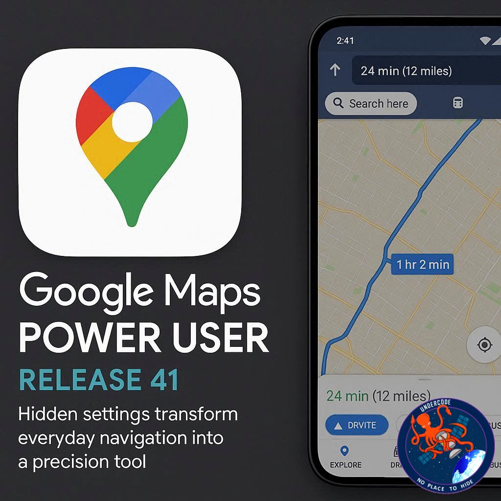
Most people treat Google Maps like a digital compass. Open it, type a destination, follow the blue line, arrive. But that simple ritual hides a far more powerful system underneath. After years of updates, refinements, and AI integrations, Google Maps has quietly evolved into a deeply customizable travel engine. Beneath the familiar interface lies a network of settings that control privacy, fuel efficiency, accessibility, battery consumption, AI assistance, and even historical time travel. What appears to be a straightforward navigation app is, in reality, a layered ecosystem designed for those willing to look beyond the default view.
A Deep the 41 Hidden Google Maps Features Every Power User Should Master
Google Maps offers dozens of lesser-known settings that dramatically improve daily navigation. Users can lock the map to always face north, avoiding the disorienting auto-rotation that often confuses drivers. Route customization goes further, allowing drivers to avoid tolls, highways, or ferries by default. Fuel-conscious users can activate fuel-efficient route suggestions, and those driving electric vehicles can specify engine types, EV models, and charging plug compatibility for more accurate charging station recommendations.
Multi-stop routing helps plan errands efficiently, while departure time settings generate realistic arrival estimates based on traffic patterns. Instead of setting phone alarms, drivers can enable “remind to leave,” letting Maps calculate the best departure time using live traffic data. Glanceable directions keep turn-by-turn navigation visible on the lock screen, reducing distractions and saving battery.
Voice search eliminates typing entirely, while hands-free activation through Google Assistant allows full navigation control without touching the screen. Power-saving mode reduces battery drain during long drives, though some features remain exclusive to Pixel devices. Drivers can also enable speed limits and an on-screen speedometer to avoid accidental violations.
Audio customization includes disabling Bluetooth voice playback or increasing guidance volume. Pedestrians benefit from detailed voice guidance and Live View augmented reality directions, which overlay arrows onto real-world streets using the camera. Accessibility settings highlight wheelchair-friendly locations and transit routes that avoid stairs.
Public transit users can prioritize specific transportation modes like subway or bus. Drivers can personalize their navigation icon with different vehicle avatars. Dark mode adjusts the interface for nighttime comfort. Traffic layers provide real-time congestion data, while parking tools help locate garages and even save your parked location manually.
The “You” tab enables custom collections and lists of favorite places, and saved trips simplify frequent travel routes. Setting home and work addresses unlocks commute insights and personalized alerts. Visual depth can be enhanced with 3D buildings, while map layers reveal satellite views, terrain, air quality, wildfire updates, and Street View overlays.
Units of measurement, temperature formats, and map scales can be customized. Offline maps allow navigation in dead zones and expire after roughly one year. Labels create personalized searchable place names. Incognito mode prevents searches and routes from being saved.
Timeline tracks visited locations and can be managed, auto-deleted, or disabled entirely. Activity history and search history controls allow further privacy customization. Users can delete recent searches individually. The Local Guides program enables public contributions while privacy settings limit profile visibility.
Notification management allows fine-tuning of alerts. Real-time location sharing shows movement and battery level to trusted contacts. Street View offers historical imagery timelines, letting users view how locations looked years ago. Finally, Lens with Gemini integrates AI, allowing users to point their camera at landmarks and receive contextual summaries powered by Google’s AI model.
Most features work on both Android and iOS, though some remain device-specific. Users can operate Maps without signing in, but personalization and saved features require a Google account. Location saving can be paused through Incognito mode or Timeline settings.
The Architecture of Control: Why These Settings Matter More Than You Think
Google Maps is no longer just a map. It is a behavioral engine built around personalization. Every toggle, from fuel-efficient routing to AI-powered visual recognition, is designed to refine user intent into predictive outcomes. The power lies not in one feature, but in how they interact.
Consider the electric vehicle configuration system. Once a user defines their EV model and plug type, route suggestions adapt dynamically. Charging stops are no longer generic suggestions but optimized pauses aligned with battery constraints. This transforms navigation from reactive guidance into proactive logistics planning.
Accessibility options represent another structural layer. By enabling wheelchair-friendly routing and emphasizing accessible entrances, Maps becomes an inclusive mobility platform rather than a standard transit guide. That shift carries social implications far beyond convenience.
The privacy architecture is equally complex. Timeline, Web and App Activity, Maps history, Incognito mode, and auto-delete settings create a spectrum of control. Instead of a binary “tracking on or off” system, Google Maps offers graduated privacy management. This reflects a broader industry shift toward configurable data retention rather than total abstention.
Battery optimization features show similar sophistication. Power-saving mode, lock-screen glanceable directions, and offline maps collectively reduce energy dependency. In regions with weak signal infrastructure, offline mapping is not a luxury, but a necessity.
AI integration through Gemini marks a new phase. Lens transforms Maps into a contextual information scanner. By pointing a camera at a building, users bypass traditional search queries entirely. The world itself becomes the search bar.
Even seemingly cosmetic changes like dark mode or vehicle avatars serve psychological functions. Personalization increases attachment and daily engagement. Small customizations create habitual loyalty.
Street View’s historical timeline function adds another dimension. Users can visually travel backward in time, observing urban development, environmental changes, and architectural evolution. Maps becomes a living archive.
What appears to be a checklist of tips is, in reality, a blueprint for digital mobility mastery. The difference between casual and power users lies in intentional configuration. Default settings offer adequacy. Customized settings offer optimization.
What Undercode Say:
Google Maps is evolving into an infrastructure layer for modern life. It is no longer competing solely with other navigation apps. It is competing with friction itself. Every hidden setting reduces uncertainty, whether that uncertainty involves fuel range, traffic delays, parking anxiety, or privacy concerns.
The most strategic feature is not augmented reality or AI summaries. It is predictive timing. The combination of departure scheduling, real-time traffic modeling, and leave reminders creates behavioral nudges. Instead of reacting to congestion, users adjust proactively. This reshapes commuting patterns at scale.
Electric vehicle customization is another forward-looking element. As EV adoption accelerates globally, route optimization based on battery and plug standards will become essential rather than optional. Google is positioning Maps as a critical EV infrastructure companion.
Privacy toggles demonstrate calculated transparency. Rather than removing tracking entirely, Google offers granular management. This approach keeps users inside the ecosystem while reducing backlash.
AI integration through Gemini signals a shift from directional intelligence to environmental intelligence. Instead of asking, “How do I get there?” users increasingly ask, “What am I looking at?” Navigation is merging with contextual awareness.
Accessibility features deserve more attention than they receive. Prioritizing wheelchair-friendly paths and transit options embeds social responsibility into mainstream navigation. That changes the narrative from convenience to inclusion.
Offline maps remain one of the most underestimated tools. In remote areas, disaster zones, or international travel scenarios, offline access can mean reliability where connectivity fails.
Ultimately, Google Maps is becoming less of an app and more of a mobility operating system. The 41 features are not random enhancements. They are components of a unified strategy: reduce friction, increase personalization, embed AI, and maintain ecosystem dominance.
Power users are not simply tech enthusiasts. They are early adopters of a navigation paradigm that blends predictive analytics, environmental awareness, and behavioral data into seamless movement.
Fact Checker Results
✅ Google Maps supports EV model and plug-specific charging station filtering.
✅ Timeline and Incognito mode allow users to manage or pause location tracking.
✅ Live View uses augmented reality overlays for walking navigation assistance.
Prediction
📊 AI-driven contextual navigation will expand beyond landmarks into real-time hazard detection and dynamic urban data overlays.
📊 EV routing optimization will integrate charging availability forecasting to reduce station congestion.
📊 Privacy dashboards will become more visual, offering clearer transparency into movement data usage.
▶️ Related Video (76% Match):
🕵️📝✔️Let’s dive deep and fact‑check.
References:
Reported By: www.zdnet.com
Extra Source Hub (Possible Sources for article):
https://stackoverflow.com
Wikipedia
OpenAi & Undercode AI
Image Source:
Unsplash
Undercode AI DI v2
Bing
🔐JOIN OUR CYBER WORLD [ CVE News • HackMonitor • UndercodeNews ]
📢 Follow UndercodeNews & Stay Tuned:
𝕏 formerly Twitter 🐦 | @ Threads | 🔗 Linkedin | 🦋BlueSky | 🐘Mastodon


