
Listen to this Post
Introduction
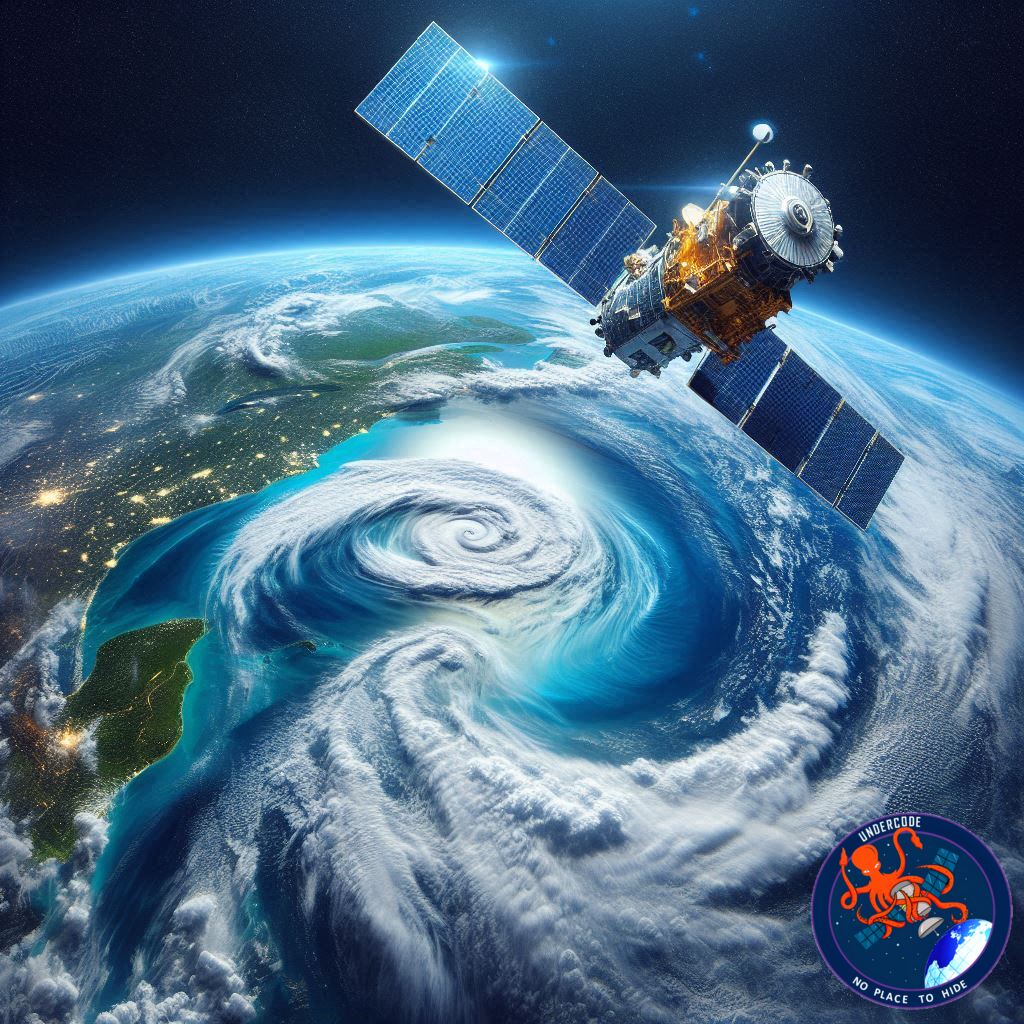
For decades, scientists have been racing against time to understand how quickly Earth’s oceans are rising. Each new inch reshapes coastlines, threatens cities, and alters the rhythm of global weather. Now a new satellite, Sentinel-6B, is preparing to lift that mission even higher. Backed by NASA and major European partners, this satellite will extend one of the most important climate data records ever created. It will track sea level rise, decode the behavior of our warming oceans, and give governments the intelligence they need to protect lives, infrastructure, and national interests. The launch is more than a scientific milestone. It is a critical chapter in humanity’s attempt to understand its shifting planet.
Summary of the Original
A Mission Built to Protect the Future
Sentinel-6B continues an international effort to monitor global sea levels with unprecedented precision. Its purpose is to gather the data essential for public safety, urban development, and meeting commercial and defense needs. Rising sea levels threaten coastlines every year, and governments rely on accurate information to plan ahead.
Expanding the World’s Most Important Sea-Level Record
This satellite extends a record that spans nearly forty years. It follows Sentinel-6 Michael Freilich, launched in 2020, and the Jason satellites that began collecting this data in 1992. Jason-1 and Jason-2 have since been retired, but Jason-3 remains active, forming a legacy of consistent climate observation.
High-Precision Technology for a Changing Planet
Sentinel-6B carries a radar altimeter that sends signals to the ocean surface and reads the reflections. This technology allows the satellite to create long-term ocean topography records, mapping about ninety percent of Earth’s ice-free waters every ten days. It also uses advanced radio-occultation techniques to capture vertical atmospheric temperature and humidity profiles, improving climate models and weather forecasting.
Critical Data for the Coasts That Need It Most
Its measurements will guide coastal cities as they confront encroaching waters. The data helps local and state governments assess risks to infrastructure, energy facilities, and real estate. It also improves weather models used by commercial shipping, recreational navigation, and emergency planners. For military agencies, these insights strengthen the protection of sensitive coastal bases and strategic locations.
A Global Collaboration With High Stakes
The Sentinel-6/Jason-CS program is the result of deep cooperation between NASA, the European Union, ESA, EUMETSAT, and NOAA. The European Commission funded much of the project, with CNES adding technical expertise. Together, these organizations are ensuring that the world maintains uninterrupted access to essential climate information.
What Undercode Say:
A Satellite That Redefines the Climate Timeline
Sentinel-6B arrives at a turning point where data is not simply scientific curiosity but a form of planetary defense. The world is running out of time to understand how rising oceans will reshape human civilization. With nearly forty years of precision measurements behind it, Sentinel-6B becomes the guardian of continuity. In climate science, continuity is everything. A gap in the record could weaken projections, reduce model reliability, and blindside governments that depend on yearly measurements to plan multibillion-dollar responses.
The Quiet Power of Long-Term Climate Intelligence
What makes the mission so vital is not only what it will measure but how consistently it will measure it. Sea level rise is one of the most stubborn signals of planetary warming. It does not fluctuate wildly like temperature or storm patterns, and it rarely offers dramatic moments. Instead, it creeps forward, inch by inch. Detecting these small but irreversible movements requires a tool built for precision over decades. Sentinel-6B is exactly that tool.
Economic, Military, and Environmental Consequences
Many discussions about rising seas focus on environmental impact, but the economic risk is equally massive. Ports, energy terminals, highways, housing developments, and naval stations sit within vulnerable floodplains. Sentinel-6B’s measurements will feed directly into the models that insurance firms depend on, the policies that governments design, and the risk assessments that determine whether billions in infrastructure should be relocated, reinforced, or abandoned entirely.
For military planners, this data frames future security challenges. Coastal bases face flooding that can damage runways, disrupt operations, and weaken defensive readiness. Precision predicting tools give defense agencies the time to fortify assets before emergencies strike.
Better Weather Forecasting Means Fewer Surprises
The satellite’s atmospheric profiling will improve weather forecasting models worldwide. Temperature and humidity readings taken from orbit feed directly into hurricane prediction systems. Storm intensity, storm paths, and early-warning capabilities will all benefit. This is especially important during extreme weather seasons, when every hour of advanced notice can save entire communities.
A Reminder That Climate Solutions Require Cooperation
Sentinel-6B is also a symbol of what international collaboration can achieve. Climate shifts do not respect borders, and oceans connect every society. The project’s global partnerships demonstrate that long-term scientific missions require stable funding, political alignment, and shared vision. In an era where climate politics is often polarized, the Sentinel-6 program shows how multinational science can rise above disagreement.
Why This Mission Matters Now More Than Ever
We are approaching climate thresholds that, once crossed, cannot be reversed. The more the oceans warm, the more they expand. The ice sheets above Greenland and Antarctica continue to melt, and ocean circulation patterns shift in ways that influence everything from rainfall to global food supply. Sentinel-6B adds clarity to these cascading effects, helping researchers connect the dots between temperature, sea level, and planetary health.
The satellite will not stop seas from rising. It will, however, tell us how fast, how far, and where consequences will strike first. In a world full of uncertainties, this kind of certainty is priceless.
🔍 Fact Checker Results
Sentinel-6B continues a long-term sea-level monitoring mission started in 1992. ✅
Its radar altimeter will map ninety percent of the world’s ice-free oceans every ten days. ✅
Jason-1 and Jason-2 remain operational. ❌ They have been decommissioned.
📊 Prediction
Sentinel-6B’s data will likely sharpen sea-level projections within the next three years. 🌊
Governments will use its coastal risk intelligence to redesign zoning rules and strategic military protections. 🛰️
As accuracy improves, insurance markets may shift dramatically in high-risk coastal zones. 💡
🕵️📝✔️Let’s dive deep and fact‑check.
References:
Reported By: science.nasa.gov
Extra Source Hub (Possible Sources for article):
https://www.facebook.com
Wikipedia
OpenAi & Undercode AI
Image Source:
Unsplash
Undercode AI DI v2
Bing
🔐JOIN OUR CYBER WORLD [ CVE News • HackMonitor • UndercodeNews ]
📢 Follow UndercodeNews & Stay Tuned:
𝕏 formerly Twitter 🐦 | @ Threads | 🔗 Linkedin | 🦋BlueSky | 🐘Mastodon


