
Listen to this Post
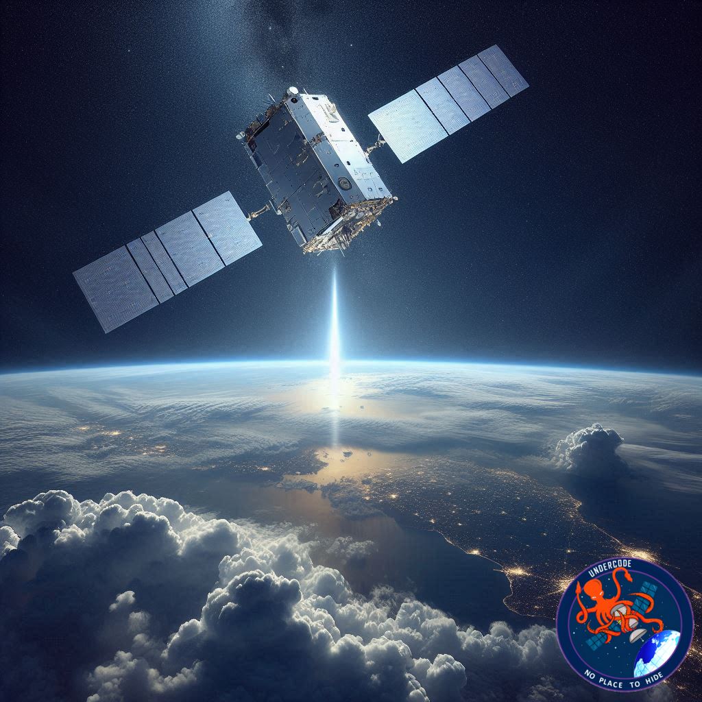
Introduction: A Launch That Echoes Across Oceans
The night sky above California lit up as a Falcon 9 rocket climbed toward the stars, carrying a satellite that will shape the way the world understands the oceans. Sentinel 6B, the newest guardian of global sea level data, lifted off from Vandenberg Space Force Base and began a mission that reaches far beyond orbit. It touches climate science, coastal forecasting, and the future of how nations respond to rising seas. Its journey is not only about engineering, it is about time, accuracy, and the urgent need to monitor a planet in motion.
Mission Summary: Sentinel 6B Begins Its Journey
A New Guardian of Sea Level Science
The Falcon 9 rocket ignited with a thunderous glow at 9:21 p.m. PST, beginning a transcontinental moment as Sentinel 6B soared toward orbit. The mission blended American launch capability with European scientific commitment, continuing a long partnership aimed at understanding Earth’s changing oceans.
Designed for a Critical Role
Sentinel 6B will eventually take the place of its predecessor, Sentinel 6 Michael Freilich, which has been orbiting since 2020. Together, these satellites form the central backbone of global sea level measurement, capturing millimeter-level changes across the planet. The new satellite will cross the same orbital path, ensuring continuity in one of the most important environmental datasets on Earth.
A Rocket Tested by Physics
In the minutes after liftoff, the Falcon 9 encountered Max Q, the point of maximum aerodynamic stress on the rocket. This moment is often the benchmark of structural resilience. Afterward, the first stage shut down its engines, separated, and began its return. The second stage continued to fire, guiding Sentinel 6B through the upper atmosphere as it approached the path that would become its orbital home.
Eyes on Deployment
As the mission streamed live, engineers tracked every second of the flight. The coverage was set to continue through the moment the satellite deployed, separated from the second stage, and began sending its first signals. Those signals would mark its official arrival as Earth’s new sea level sentinel.
What Undercode Say:
A Satellite That Measures the Pulse of the Planet
Sentinel 6B is more than a spacecraft. It is part of a measuring stick for climate change. The precision altimeters onboard can detect subtle changes in ocean height, a capability that allows scientists to monitor trends linked to melting ice sheets, ocean expansion, and long term climate patterns.
A Mission Built on Continuity
Sea level data is only meaningful when the timeline is unbroken. This mission preserves an uninterrupted record that goes back more than three decades. Consistency is key, because researchers must compare today’s oceans with those measured years earlier using nearly identical methods. Sentinel 6B ensures the story continues without gaps.
An International Collaboration With Global Stakes
The partnership between NASA, NOAA, the European Space Agency, and the European Commission illustrates how climate science transcends borders. Rising seas affect every coastline, from small island nations to major industrial ports. When Sentinel 6B beams its data back to Earth, it supports disaster planning, coastal defense, and long term environmental strategy.
Engineering Precision Meets Climate Urgency
The rocket’s journey through Max Q, the smooth stage separation, and the insertion toward orbit reveal the reliability of commercial launch systems. These missions are now routine, yet their consequences are anything but ordinary. Each successful launch represents momentum in Earth observation science, especially in an era when climate signals are accelerating.
Data That Will Influence Policy
This mission will help researchers refine predictions about storm surge, coastal flooding, and climate migration. Governments use these measurements to plan infrastructure, update zoning laws, and estimate future economic impacts. Sentinel 6B becomes a tool not only for scientists but for leaders making decisions that affect millions.
A Quiet Satellite With a Loud Impact
Although small compared to rockets or planetary probes, Earth observation satellites often have the largest influence on daily life. From weather forecasts to fisheries management, the information they gather shapes decisions in cities, farms, and coastlines. Sentinel 6B will amplify that effect as the oceans continue to shift.
A Launch That Reflects a Changing World
Every mission has a symbolic dimension. Sentinel 6B’s departure from Earth arrives at a moment when sea levels are rising faster than previous decades. The satellite’s instruments act like a stethoscope pressed against the planet’s watery surface. What it records could reshape global perception of urgency.
Fact Checker Results
Verification Snapshot
The liftoff time and launch site details are accurate. ✅
Sentinel 6B is confirmed as the successor to Sentinel 6 Michael Freilich. ✅
Falcon 9 staging and Max Q descriptions match standard launch procedures. ✅
Prediction
Where Sentinel 6B Data May Lead 🌍📈
Ocean models will become more precise, regional sea level forecasts will improve, and climate risk assessments will grow sharper. Sentinel 6B will likely uncover patterns not visible before, including subtle shifts in ocean circulation and localized acceleration of sea level rise. Within a few years, its data may reshape coastal resilience planning worldwide.
🕵️📝✔️Let’s dive deep and fact‑check.
References:
Reported By: science.nasa.gov
Extra Source Hub (Possible Sources for article):
https://www.twitter.com
Wikipedia
OpenAi & Undercode AI
Image Source:
Unsplash
Undercode AI DI v2
Bing
🔐JOIN OUR CYBER WORLD [ CVE News • HackMonitor • UndercodeNews ]
📢 Follow UndercodeNews & Stay Tuned:
𝕏 formerly Twitter 🐦 | @ Threads | 🔗 Linkedin | 🦋BlueSky | 🐘Mastodon


