
Listen to this Post
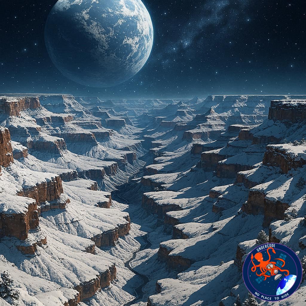 Introduction: When the Grand Canyon Plays Tricks on the Eye
In early 2026, a rare winter scene unfolded across Arizona’s high desert, transforming one of the world’s most recognizable landscapes into something unexpectedly deceptive. Fresh snowfall, lingering storm clouds, and a low winter sun combined to give the Grand Canyon an appearance that confused even trained eyes. From hundreds of kilometers above Earth, an astronaut aboard the International Space Station captured this moment—revealing not only the canyon’s dramatic topography but also a powerful visual illusion shaped by light, shadow, and human perception.
A Winter Storm Leaves Its Mark
Just days before the photographs were taken, snow flurries swept across much of the central and eastern United States, reaching deep into northern Arizona. The Grand Canyon, known more for heat and arid vistas than snow, was briefly transformed into a winter landscape. These conditions were severe enough for park officials to close Desert View Drive along the South Rim and issue warnings about icy and dangerous trails for visitors.
Closures and Safety on the South Rim
The South Rim, sitting at roughly 7,000 feet above sea level, is the most accessible part of the park during winter. Despite that accessibility, the storm forced temporary closures as snow and ice accumulated along roads and walkways. When Desert View Drive reopened around the time the astronaut images were taken, snow still blanketed much of the rim, highlighting the canyon’s upper edges in stark white.
The North Rim’s Deeper Freeze
At an even higher elevation of around 8,000 feet, the North Rim experienced heavier snowfall. Unlike the South Rim, the North Rim is routinely closed to traffic during winter and early spring, making it a silent witness to the storm. From orbit, the contrast between the snow-covered rims and the darker canyon interior created a striking visual boundary that emphasized elevation differences.
Snowfall Patterns at High Elevation
Snow in the Grand Canyon is not unusual at higher elevations. On average, the South Rim receives about 58 inches of snow each season, while the North Rim can see as much as 142 inches. These totals reflect how dramatically climate conditions change with elevation in the region, even within the same national park.
Rain on the Canyon Floor
While snow coated the rims, conditions were very different far below. At Phantom Ranch, located on the canyon floor, precipitation fell as rain instead of snow. On January 24, weather instruments there recorded just 0.06 inches of rainfall, underscoring how temperature and elevation sharply divide winter weather outcomes within the canyon.
A Landscape That Looks Upside Down
The astronaut photographs made the Grand Canyon appear less like a deep chasm and more like a rugged mountain range. This unusual perception was not caused by geology, but by a visual phenomenon known as relief inversion. In these images, familiar cues about depth and height are flipped, confusing the brain’s interpretation of the landscape.
Understanding Relief Inversion
Relief inversion occurs when lighting comes from an unexpected direction. Humans unconsciously assume that light sources come from above. In the January 26 images, however, the Sun was shining from the south—effectively the bottom of the frame. As a result, shadows and highlights reversed their usual roles, making valleys appear elevated and ridges seem sunken.
Snow as a Visual Anchor
Despite the illusion, the presence of snow provided an important clue. Snow settled on flatter, higher-elevation surfaces along the rims, helping viewers recognize which parts of the image were truly elevated. Without that white reference, the illusion would have been even more convincing.
Capturing Earth From Orbit
The images were taken on January 26, 2026, using a Nikon Z9 digital camera equipped with a 400-millimeter lens. The photographs, labeled ISS074-E-208838 and ISS074-E-208848, were captured by a member of the Expedition 74 crew aboard the International Space Station.
Image Processing and Enhancement
After acquisition, the images were cropped and enhanced to improve contrast and clarity. Lens artifacts were removed to ensure accurate representation of the landscape. These refinements help scientists and the public better interpret subtle details without altering the underlying data.
NASA’s Earth Observation Mission
The photographs are part of an ongoing effort supported by the ISS National Laboratory. Through the Crew Earth Observations Facility and NASA’s Earth Science and Remote Sensing Unit at Johnson Space Center, astronauts are trained and encouraged to document Earth in ways that support scientific research and public understanding.
Free Access for Science and the Public
All images captured under this program are made freely available online through the NASA/JSC Gateway to Astronaut Photography of Earth. This open-access approach allows researchers, educators, and enthusiasts worldwide to study Earth’s changing surface from a unique vantage point.
Summary of the Original
A Winter Snapshot From Space
In January 2026, an astronaut aboard the International Space Station photographed the Grand Canyon after a winter storm swept across Arizona’s high desert. Snowfall in the days leading up to the images led to road closures and safety warnings within Grand Canyon National Park, particularly along Desert View Drive on the South Rim.
Elevation Shapes the Weather
Snow remained visible on both the South Rim and the higher North Rim, where winter access is already restricted. These conditions are typical for winter at high elevations, with average seasonal snowfall reaching 58 inches on the South Rim and 142 inches on the North Rim.
Contrasting Conditions Below
At lower elevations, including the canyon floor, precipitation fell as rain rather than snow. A weather station at Phantom Ranch recorded measurable rainfall, highlighting the dramatic climate differences within the canyon itself.
The Illusion Explained
The images made the canyon appear inverted due to a phenomenon known as relief inversion. Because sunlight illuminated the landscape from the south, shadows formed in a way that tricked the human brain into misreading elevation and depth.
Scientific and Public Value
Captured with a high-resolution Nikon camera and processed for clarity, the images were released by NASA as part of its Earth observation mission. The photographs serve both scientific research and public education, offering a rare winter perspective on an iconic American landscape.
What Undercode Say:
A Lesson in Perception and Perspective
These Grand Canyon images are a reminder that even the most familiar landscapes can deceive us when viewed under unfamiliar conditions. Relief inversion is not just a curiosity—it highlights how dependent human perception is on learned visual cues, especially assumptions about light direction.
Space Photography as a Scientific Tool
Astronaut photography bridges the gap between satellite imaging and ground observation. Unlike automated sensors, astronauts can frame scenes intuitively, capturing moments like this winter illusion that might otherwise go unnoticed.
Climate Contrast in a Single Frame
The coexistence of snow-covered rims and rain-soaked canyon floors within the same image emphasizes the complexity of regional climate systems. This contrast is invaluable for understanding how elevation influences weather patterns in arid and semi-arid regions.
Public Engagement Through Visual Storytelling
Images like these do more than inform scientists—they engage the public emotionally. A snow-draped Grand Canyon seen from space invites curiosity and encourages deeper interest in Earth science and environmental observation.
The Role of Open Data
NASA’s commitment to making these images freely accessible amplifies their impact. Educators can use them to explain optical illusions, geologists can study surface features, and the general public gains a new appreciation for Earth’s dynamic landscapes.
Technology Meets Human Insight
The use of advanced cameras like the Nikon Z9 shows how consumer-grade technology, when placed in orbit and guided by human judgment, can produce data of extraordinary value.
Seasonal Extremes and Future Research
Winter imagery of the Grand Canyon is relatively rare compared to summer views. These photos add to a growing archive that helps researchers study seasonal changes, erosion patterns, and snow distribution over time.
Why Illusions Matter
Understanding visual illusions like relief inversion is crucial for interpreting remote sensing data correctly. Misreading terrain can have real-world consequences in mapping, navigation, and scientific analysis.
A Subtle Reminder of Scale
Seen from orbit, the Grand Canyon’s immense depth becomes abstract, almost flattened by distance. Yet the snow-lined rims quietly reassert its true scale, reminding viewers of the vast forces that shaped it.
More Than Just a Pretty Picture
Ultimately, these images are not just visually striking—they are educational artifacts that blend art, science, and perception into a single frame, reinforcing the value of human observation in space exploration.
Fact Checker Results
Accuracy of Weather and Elevation Data ✅
The snowfall amounts, elevations, and weather observations align with official Grand Canyon National Park and NASA data.
Validation of Optical Phenomenon ✅
Relief inversion is a well-documented visual illusion consistent with the lighting conditions described.
Source Credibility ✅
All referenced information originates from NASA and U.S. National Park Service resources.
Prediction
More Seasonal Illusions Ahead 🌨️
As astronaut photography archives grow, similar visual illusions caused by snow, shadows, and low-angle sunlight are likely to draw increased attention.
Expanded Use in Education 📚
These images will increasingly be used in classrooms to teach perception, geography, and Earth science.
Greater Public Interest in Earth Observation 🌍
Striking visuals like this will continue to fuel public fascination with Earth as seen from space, strengthening support for observation missions.
🕵️📝✔️Let’s dive deep and fact‑check.
References:
Reported By: science.nasa.gov
Extra Source Hub (Possible Sources for article):
https://www.discord.com
Wikipedia
OpenAi & Undercode AI
Image Source:
Unsplash
Undercode AI DI v2
Bing
🔐JOIN OUR CYBER WORLD [ CVE News • HackMonitor • UndercodeNews ]
📢 Follow UndercodeNews & Stay Tuned:
𝕏 formerly Twitter 🐦 | @ Threads | 🔗 Linkedin | 🦋BlueSky | 🐘Mastodon


