
Listen to this Post
 Introduction: A Living Landscape Shaped by the Sea
Nature rarely stands still, but few places on Earth demonstrate this truth as dramatically as the Bijagós Archipelago in Guinea-Bissau. Twice every day, the Atlantic Ocean performs a breathtaking transformation across this remote island chain. As tides rise and fall, vast mudflats emerge and disappear, islands expand and contract, and countless marine species begin synchronized migrations that have unfolded for thousands of years.
This remarkable coastal ecosystem has become one of Africa’s greatest natural treasures. Officially recognized as a UNESCO World Heritage Site in 2025, the Bijagós Archipelago is far more than a collection of tropical islands. It is a living laboratory where powerful tidal forces, rich biodiversity, and delicate ecological balance combine to create one of the most productive marine environments on Earth. Scientists continue to study the region not only because of its beauty but also because it offers valuable insights into coastal evolution, climate resilience, and wildlife conservation.
A Landscape That Changes Every Twelve Hours
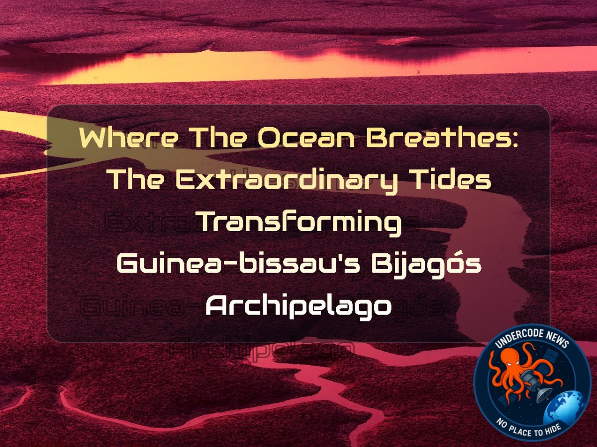
One of the most fascinating characteristics of the Bijagós Archipelago is its constantly changing geography. Every day, the Atlantic tides sweep through an intricate network of sandy channels, mangrove forests, and expansive mudflats surrounding the archipelago’s 88 islands and small islets.
At low tide, enormous stretches of seabed emerge from beneath the water. Islands appear dramatically larger as sandbars and tidal flats connect areas that were previously separated by water. Hours later, the incoming tide submerges these landscapes once again, restoring the familiar island shapes.
Viewed from satellites, this rhythmic transformation creates one of the most visually stunning coastal processes on the African continent. It is a reminder that coastlines are not fixed boundaries but living environments constantly reshaped by the ocean.
Africa’s Only Active Deltaic Archipelago on the Atlantic Coast
The Bijagós Archipelago holds exceptional scientific importance because it represents the only active deltaic archipelago located along Africa’s Atlantic coastline.
Unlike many island systems formed solely through volcanic activity or coral reefs, the Bijagós landscape continues evolving through the interaction of several powerful natural forces, including:
Atlantic tides
River sediment deposition
Coastal ocean currents
Seasonal upwelling
Mangrove expansion
Together, these natural systems create an ecosystem capable of supporting extraordinary levels of biological productivity.
This unique combination of geological and oceanographic processes was one of the primary reasons UNESCO granted World Heritage status to the region.
A Paradise for Migratory Birds
Every year, hundreds of thousands of birds rely on the Bijagós Archipelago during their long migrations.
According to UNESCO estimates, nearly 870,000 migratory shorebirds visit the islands, making them one of West Africa’s most significant feeding grounds along the East Atlantic Flyway.
When tides retreat, expansive mudflats become giant natural buffets filled with:
Marine worms
Small crustaceans
Shellfish
Mollusks
Tiny fish
Species traveling thousands of kilometers from Europe and northern Asia depend on these nutrient-rich feeding grounds to replenish the energy required for their migrations.
Without healthy tidal ecosystems like Bijagós, many migratory bird populations could experience severe declines.
Mangrove Forests:
The mangrove forests surrounding the islands perform several essential ecological functions.
During high tide, seawater penetrates deep into these forests, allowing numerous marine animals to seek food and shelter among the tangled roots.
These mangroves provide habitat for:
West African manatees
Dolphins
Juvenile fish
Crustaceans
Numerous bird species
Beyond supporting wildlife, mangroves also stabilize coastlines, reduce erosion, trap sediments, filter pollutants, and capture significant amounts of atmospheric carbon, making them valuable allies in combating climate change.
The
Perhaps the
The tiny island of Poilão, located within the João Vieira and Poilão Marine National Park, hosts one of the world’s largest nesting populations of green sea turtles.
Each nesting season, tens of thousands of females emerge from the ocean under the cover of darkness to lay eggs on the sandy beaches.
Weeks later, thousands of hatchlings burst from their nests and begin one of nature’s most dangerous journeys.
Only the Strongest Survive
The survival odds for newborn sea turtles are astonishingly low.
As hatchlings scramble toward the ocean during nighttime, predators await almost every step.
On land they face:
Crabs
Lizards
Shorebirds
Once they reach shallow water, the danger only intensifies.
Marine predators include:
Jacks
Barracudas
Groupers
Snappers
Further offshore, larger hunters such as tuna, sharks, rays, and mackerel continue the pursuit.
Researchers estimate that fewer than 1% of green sea turtle hatchlings survive long enough to reach adulthood.
Despite these overwhelming odds, this survival strategy has allowed sea turtles to persist for millions of years.
Why Are the Tides So Powerful?
Scientists have long wondered why the Bijagós Archipelago experiences some of West Africa’s most dramatic tidal fluctuations.
A detailed scientific study published in 2025 provided an important explanation.
Researchers discovered that two primary geographical features amplify the tides:
An unusually wide and shallow continental shelf.
The unique geometry of the surrounding estuary.
Together, these characteristics produce tidal ranges reaching 7 meters (23 feet).
For comparison, many nearby coastal regions experience tidal changes of only around 1 meter (3 feet).
This enormous difference explains why the landscape transforms so dramatically every day.
NASA Satellites Reveal the
Understanding tidal systems at this scale requires advanced satellite technology.
Researchers validated their findings using satellite altimetry observations collected by:
NASA/CNES TOPEX/Poseidon
Jason-1
Jason-2
These missions measure tiny variations in sea surface height with remarkable precision.
Combined with coastal observations, the satellite data enabled scientists to map tidal behavior across the archipelago and better understand how the region’s unique coastal geometry influences ocean movement.
Remote sensing continues to be one of the most powerful tools available for monitoring environmental change in vulnerable coastal ecosystems.
Deep Analysis
The Bijagós Archipelago illustrates how interconnected
From a climate perspective, preserving these tidal ecosystems is increasingly important. Rising sea levels, changing storm patterns, and warming oceans may alter tidal dynamics in coming decades. Continuous satellite monitoring, hydrodynamic modeling, and biodiversity surveys will therefore play an essential role in protecting this globally significant ecosystem.
Researchers studying coastal processes often analyze satellite and environmental datasets using scientific and geospatial tools such as:
Download Landsat imagery
landsatxplore search –dataset landsat_ot_c2_l2
Access NASA Earth observation datasets
earthaccess login
earthaccess search
Process raster imagery with GDAL
gdalinfo image.tif
gdal_translate input.tif output.tif
Analyze geospatial layers
ogrinfo coastline.shp
Python scientific ecosystem
pip install xarray rasterio geopandas netCDF4 matplotlib
Example Python workflow for environmental analysis:
import xarray as xr
import rasterio
import geopandas as gpd
dataset = xr.open_dataset("tidal_data.nc")
print(dataset)
These tools allow researchers to model tidal amplification, map mangrove expansion, monitor shoreline movement, evaluate habitat changes, and assess the long-term effects of climate variability on coastal ecosystems.
The study also demonstrates the growing importance of combining satellite altimetry with field observations. While satellites provide continuous regional coverage, local ecological surveys validate biological impacts, producing a more complete understanding of how marine environments function.
As artificial intelligence becomes integrated into Earth science, future research may automatically detect shoreline changes, estimate wildlife populations, predict erosion hotspots, and identify environmental threats long before they become visible to human observers.
What Undercode Say:
The Bijagós Archipelago is one of those rare places where geology, biology, and oceanography converge into a single living system.
Its UNESCO designation is well deserved because the islands represent an ecosystem that cannot easily be recreated elsewhere.
The dramatic tidal range is not simply a visual curiosity; it is the engine that powers the region’s biodiversity.
Every exposed mudflat becomes a feeding station.
Every incoming tide becomes a migration route.
Every mangrove root becomes a nursery for marine life.
The extraordinary concentration of migratory birds demonstrates how ecosystems separated by thousands of kilometers remain interconnected.
A disturbance in West Africa can eventually influence bird populations across Europe and beyond.
Likewise, the survival of green sea turtles depends not only on protected nesting beaches but also on healthy offshore waters throughout the Atlantic.
The reported survival rate of hatchlings highlights the importance of preserving large nesting populations. Even small declines in nesting success could significantly affect future generations.
NASA’s satellite observations also showcase the value of space technology in environmental conservation. Modern Earth observation allows scientists to monitor inaccessible regions continuously and detect subtle environmental changes that would otherwise go unnoticed.
Looking ahead, climate change presents one of the greatest uncertainties for the archipelago. Sea-level rise, altered sediment delivery, and shifting ocean currents could gradually reshape the tidal dynamics that make this ecosystem unique.
Conservation efforts must therefore extend beyond wildlife protection to include water quality, fisheries management, mangrove restoration, and sustainable tourism.
The Bijagós Archipelago serves as a global reminder that healthy coastlines are among the planet’s most productive ecosystems. Their preservation is not only an environmental responsibility but also a scientific and economic necessity.
As satellite technology, AI-powered ecological monitoring, and international conservation programs continue to advance, researchers will gain an even deeper understanding of how dynamic coastal systems operate and how best to protect them.
Ultimately, the future of Bijagós depends on balancing ecological preservation with responsible human activity. Protecting this extraordinary landscape today will ensure that future generations can continue to witness one of nature’s most remarkable tidal spectacles.
✅ Fact: The Bijagós Archipelago was inscribed as a UNESCO World Heritage Site in 2025. This recognition reflects its exceptional ecological importance and its status as Africa’s only active deltaic archipelago on the Atlantic coast.
✅ Fact: Scientific studies confirm that the region experiences tidal ranges of up to approximately 7 meters due to the combination of a broad shallow continental shelf and the estuary’s geometry. Satellite altimetry missions from NASA and CNES have supported these findings.
✅ Fact: Green sea turtles nesting on Poilão Island face extremely high mortality during their early life stages. While exact survival percentages vary between studies, scientific research consistently shows that only a very small fraction of hatchlings survive to adulthood.
Prediction
(+1) Continued international conservation efforts and satellite-based monitoring will strengthen protection of the Bijagós Archipelago, helping preserve its mangroves, migratory bird habitats, and globally significant sea turtle nesting beaches.
(-1) Climate change, sea-level rise, coastal erosion, illegal fishing, and unsustainable tourism could gradually disrupt the tidal balance that supports this fragile ecosystem if conservation policies fail to keep pace with environmental pressures.
(+1) Advances in artificial intelligence, remote sensing, and environmental modeling will enable scientists to detect ecological changes earlier, allowing governments and conservation organizations to respond more effectively and safeguard one of Africa’s most extraordinary coastal landscapes.
▶️ Related Video (86% Match):
🕵️📝Let’s dive deep and fact‑check.
🎓 Live Courses & Certifications:
Join Undercode Academy for Verified Certifications
🚀 Request a Custom Project:
Secure, high-velocity infrastructure and disruptive technological engineering. Contact our engineering team for high-tier development and proprietary systems:
[email protected]
💎 Smart Architecture | 🛡️ Secure by Design | ⭐ Trusted by Thousands
References:
Reported By: science.nasa.gov
Extra Source Hub (Possible Sources for article):
https://www.reddit.com
Wikipedia
OpenAi & Undercode AI
Image Source:
Unsplash
Undercode AI DI v2
🔐JOIN OUR CYBER WORLD [ CVE News • HackMonitor • UndercodeNews ]
📢 Follow UndercodeNews & Stay Tuned:
𝕏 formerly Twitter 🐦 | @ Threads | 🔗 Linkedin | 🦋BlueSky | 🐘Mastodon | 📺Youtube


