
Listen to this Post
 Introduction: A Silent Shift in the Air We Breathe
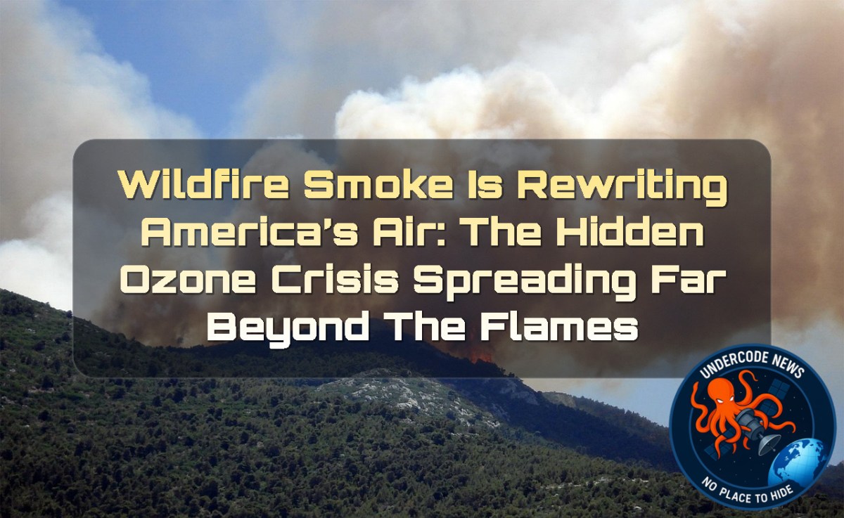
Wildfires are no longer just seasonal disasters confined to forests and rural landscapes. A NASA-supported scientific study reveals a deeper, less visible consequence spreading across the United States: wildfire smoke is fundamentally reshaping ground-level air quality. While the skies may appear clear far from active fires, invisible pollutants are traveling thousands of miles, fueling a rise in harmful ozone pollution. This is not just an environmental concern, but a public health shift unfolding quietly over the last decade.
Original Study Summary: What Researchers Discovered
A peer-reviewed study published in Science on June 4 shows that wildfires have significantly increased ground-level ozone pollution across much of the contiguous United States. Using satellite data, ground monitoring stations, and artificial intelligence, researchers found that wildfire emissions have erased years of progress in reducing air pollution. In some regions, particularly the Midwest and Western U.S., wildfire smoke has offset nearly four years of improvements in ozone control. Since 2015, this reversal has become more pronounced, showing that wildfire activity is now a dominant factor in air quality trends.
How Wildfire Smoke Turns Into Ozone Pollution
Chemical Reactions in the Sky
Wildfire smoke is not only made of visible ash and soot. It also carries gases such as carbon monoxide and nitrogen compounds. When these gases mix with sunlight and urban pollutants, they form ground-level ozone, a harmful component of smog.
A Pollutant That Travels Far
Unlike visible smoke, ozone is invisible. It does not stay near fire zones. Atmospheric winds can carry its precursors across states, meaning a wildfire in one region can degrade air quality hundreds or even thousands of miles away.
The Invisible Health Threat
Why Ground-Level Ozone Matters
Unlike protective ozone in the upper atmosphere, ground-level ozone irritates lungs, worsens asthma, and increases risks for cardiovascular and respiratory diseases. Children, elderly individuals, outdoor workers, and people with chronic conditions face the highest risk.
Rising Health Burdens
Researchers estimate that wildfire-related ozone exposure contributes to hundreds of premature deaths annually in the United States. Since 2013, these impacts have increased significantly, showing a clear link between intensifying wildfire seasons and public health risks.
How Scientists Built a National Air Quality Map
Artificial Intelligence Meets Climate Science
Researchers used deep learning to reconstruct daily ozone levels from 2003 to 2024. This model created a high-resolution grid covering the entire United States, allowing scientists to track pollution changes with unprecedented detail.
Massive Data Integration
The system combined nearly 1,000 monitoring stations with satellite data from NASA instruments like MODIS and VIIRS, alongside weather and wildfire emissions data. This fusion allowed scientists to separate wildfire-driven pollution from human-made emissions.
A Turning Point After 2015
From Progress to Reversal
Between 2003 and 2015, ozone pollution generally declined due to stricter environmental regulations. However, after 2015, wildfire activity began reversing these gains in many regions.
The Midwest Case Study
Without wildfire influence, ozone levels in the Midwest would have continued to improve. Instead, wildfires erased more than five years of environmental progress in less than a decade.
Smoke Without Borders
The 2023 Canadian Fire Example
Wildfires in Canada demonstrated how far smoke pollution can travel. Ozone spikes reached across the Midwest, Northeast, and even parts of the southern United States.
Millions Exposed
Between 2022 and 2024, tens of millions of Americans were exposed to ozone levels exceeding federal air quality standards due to wildfire pollution.
NASA’s Role in Tracking the Crisis
Seeing the Invisible from Space
NASA satellite systems provide a broader picture that ground monitors cannot capture alone. These tools help identify pollution patterns across entire continents.
TEMPO: A New Era of Air Monitoring
The TEMPO satellite, launched in 2023, measures air quality hourly across North America. It can detect pollution variations across small geographic areas, offering a near real-time view of ozone formation and movement.
From Data to Action: FireAQ System
Turning Science Into Decisions
Researchers developed FireAQ, a decision-support platform that combines satellite observations and forecasting models. It is used by air quality officials to predict smoke movement and issue warnings.
A Tool for Prevention
By forecasting where pollution will travel, agencies can better prepare vulnerable communities before air quality reaches dangerous levels.
What Undercode Say:
Wildfires are now a structural driver of U.S. air pollution trends, not just seasonal events
Ozone pollution is increasingly disconnected from local emissions alone
Climate-driven fire activity is undermining decades of regulatory progress
Invisible pollutants pose greater long-term risk than visible smoke
Air quality policy must now integrate cross-border atmospheric transport
Traditional monitoring systems are no longer sufficient alone
Satellite-based environmental intelligence is becoming essential infrastructure
AI is transforming environmental science into predictive modeling
Health impacts are no longer localized but continental in scale
Rural regions are affected despite low local emissions
Wildfire chemistry amplifies urban pollution far away
Atmospheric transport behaves like a continuous pollution network
The Midwest is a critical downwind impact zone
Ozone formation depends heavily on sunlight and mixed pollutants
Climate variability increases unpredictability in air quality
Wildfire seasons are extending in duration and intensity
Emissions reductions alone cannot counter wildfire effects
Health risks accumulate silently over time exposure
Air quality inequality is increasing across populations
Satellite monitoring fills critical geographic blind spots
AI modeling allows reconstruction of historical pollution trends
Policy evaluation must include wildfire-adjusted baselines
Public health systems must adapt to episodic pollution spikes
FireAQ represents a shift toward predictive governance
Real-time monitoring is becoming essential for public safety
Cross-border cooperation is necessary for air regulation
Canadian fires directly impact U.S. health outcomes
Atmospheric chemistry is now a key policy concern
Smoke plumes act as long-range chemical reactors
Ozone exposure correlates with premature mortality trends
Environmental gains can be reversed rapidly by extreme events
Climate adaptation requires air quality forecasting tools
Traditional AQI systems may underestimate regional exposure
Data fusion improves accuracy of environmental models
Wildfires create both particulate and gaseous pollution layers
Health exposure is uneven across socioeconomic groups
Remote sensing is critical for rural monitoring
Air pollution policy must evolve beyond stationary sources
Wildfire mitigation is now a public health strategy
The future of clean air depends on climate resilience planning
✅ The study confirms wildfire smoke increases ground-level ozone formation through chemical reactions
❌ Ozone pollution is not entirely new, but wildfire contribution has significantly increased in recent years
✅ NASA satellite missions like MODIS, VIIRS, and TEMPO are real tools used in atmospheric monitoring
⚠️ Premature death estimates are model-based and depend on assumptions about exposure and population data
✅ Scientific consensus supports that ground-level ozone is harmful to human health and ecosystems
Prediction:
(+1) Wildfire monitoring technology and AI forecasting systems will become standard tools for national air quality management, improving early warning systems and reducing exposure risks 🌍📡
(-1) Increasing wildfire intensity may continue to outpace pollution-control efforts, leading to more frequent air quality crises and long-range smoke events 🔥🌫️
Deep Analysis: Air Quality Modeling and Monitoring Systems
Linux-based Environmental Data Workflow
Download satellite ozone datasets
wget https://example-nasa-data.gov/ozone-daily-data
Extract and process wildfire emission layers
tar -xvzf ozone_data.tar.gz
Run atmospheric model simulation
python3 run_air_quality_model.py --input ozone_dataset --region USA
Filter wildfire contribution signals
grep "wildfire" model_output.log > wildfire_signal_analysis.txt
Generate statistical report
Rscript ozone_trend_analysis.R
System-Level Interpretation
Environmental intelligence systems rely on multi-layer pipelines combining satellite telemetry, ground sensors, and predictive AI models. The shift toward high-resolution temporal mapping (hourly ozone tracking) represents a move from reactive environmental reporting to predictive atmospheric engineering.
▶️ Related Video (78% Match):
🕵️📝Let’s dive deep and fact‑check.
🎓 Live Courses & Certifications:
Join Undercode Academy for Verified Certifications
🚀 Request a Custom Project:
Secure, high-velocity infrastructure and disruptive technological engineering. Contact our engineering team for high-tier development and proprietary systems:
[email protected]
💎 Smart Architecture | 🛡️ Secure by Design | ⭐ Trusted by Thousands
References:
Reported By: science.nasa.gov
Extra Source Hub (Possible Sources for article):
https://www.reddit.com
Wikipedia
OpenAi & Undercode AI
Image Source:
Unsplash
Undercode AI DI v2
🔐JOIN OUR CYBER WORLD [ CVE News • HackMonitor • UndercodeNews ]
📢 Follow UndercodeNews & Stay Tuned:
𝕏 formerly Twitter 🐦 | @ Threads | 🔗 Linkedin | 🦋BlueSky | 🐘Mastodon | 📺Youtube


