
Listen to this Post
 Introduction: When the Ocean Sends Signals to the Sky
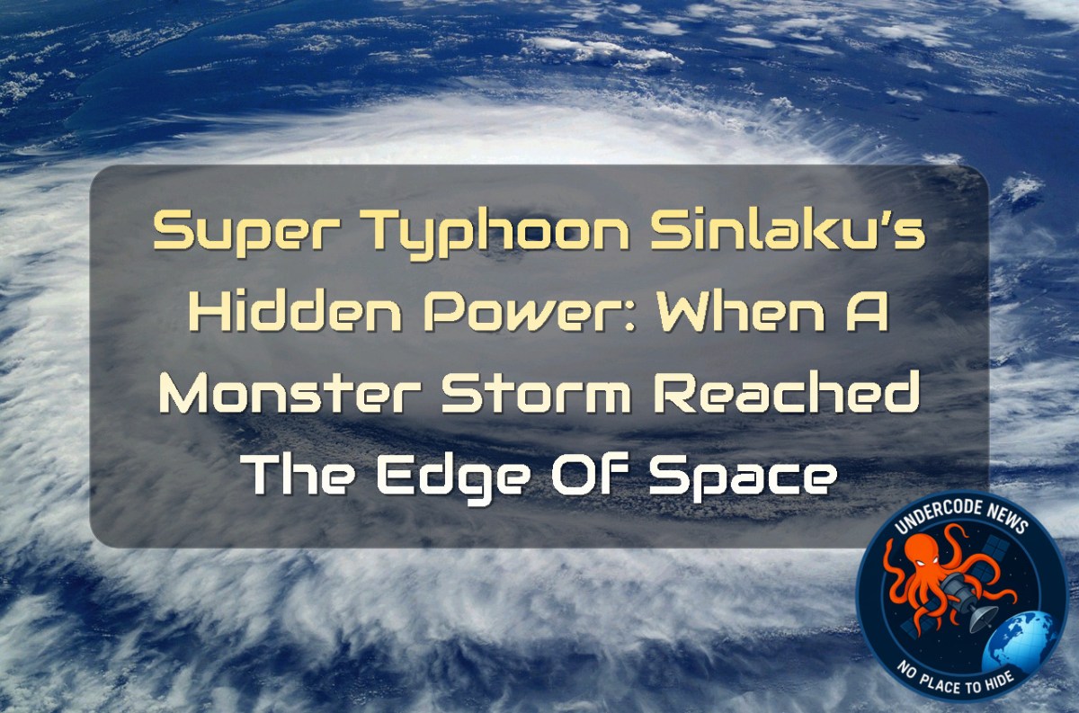
In April 2026, the Pacific Ocean witnessed something far more complex than just another powerful cyclone. Super Typhoon Sinlaku didn’t only tear through the Mariana Islands with devastating winds and heavy rainfall—it also sent invisible shockwaves upward into the upper atmosphere. What scientists later observed was not just a storm, but a full vertical connection between Earth’s surface and the edge of space, revealing how tropical cyclones can ripple through layers of the atmosphere like a cosmic signal.
Summary of the Original Findings: A Storm That Reached Beyond Weather
Sinlaku rapidly intensified into a violent typhoon, equivalent to a Category 5 system. As it strengthened over warm Pacific waters, it generated massive convection and towering cloud systems. Satellites later detected atmospheric gravity waves spreading outward and upward from the storm. These waves became visible through airglow in the mesosphere and were captured by NOAA and NASA instruments. Additional observations confirmed that these waves propagated into the stratosphere, showing that a single cyclone can influence multiple atmospheric layers at once.
Rapid Intensification: The Birth of a Superstorm
Sinlaku’s transformation was explosive. Within just 24 hours, it escalated from Category 2 to Category 5 intensity. This sudden surge was fueled by ocean heat and extreme moisture content, allowing deep convection to explode upward into the atmosphere. These “hot towers” acted like engines, pushing energy vertically and triggering waves that would later become visible thousands of kilometers above Earth’s surface.
Atmospheric Gravity Waves: The Invisible Ripples
The storm did more than rotate—it vibrated the atmosphere. These vibrations, known as atmospheric gravity waves, radiated outward like ripples in a pond. They were detected in the mesosphere through airglow, a faint natural light emitted when excited atmospheric particles release energy. The waves formed near the storm’s core and expanded in nearly perfect circular patterns, a rare and visually striking phenomenon.
Satellite Vision: When Storms Become Light Signatures
NASA’s VIIRS instrument aboard NOAA-20 captured the storm’s upper atmospheric effects at night. The imagery revealed glowing wave structures above Sinlaku, made visible by faint airglow and minimal moonlight interference. Meanwhile, NASA’s AIRS instrument detected similar wave patterns in the stratosphere, confirming that the storm’s influence extended across multiple atmospheric layers simultaneously.
Why the Waves Survived So High
One of the most surprising observations was how clearly the waves reached the mesosphere. Normally, strong upper-level winds distort or destroy these patterns before they rise so high. However, in Sinlaku’s case, relatively calm stratospheric winds allowed the waves to propagate upward with minimal disruption, preserving their circular structure.
Scientific Importance: More Than Just Beautiful Data
These waves are not just visual phenomena—they are scientific tools. Researchers believe that gravity waves could serve as indicators of storm intensification. If satellites can consistently detect these patterns, meteorologists may gain a powerful early warning system for rapidly strengthening cyclones over open oceans, where direct measurement is limited.
Atmosphere to Space: The Hidden Chain Reaction
The influence of Sinlaku did not stop in the stratosphere. Gravity waves can disturb ionospheric plasma, creating traveling disturbances that affect satellite communication and radio signals. In extreme cases, they may even trigger plasma bubbles, disrupting GPS accuracy and global communications networks.
What Undercode Say:
Sinlaku demonstrates how storms act as vertical energy systems, not just surface events
Rapid intensification remains the most dangerous phase of tropical cyclones
Gravity waves are a hidden bridge between weather and space physics
Satellite imaging is now essential for understanding storm structure
Airglow provides a natural screen for visualizing atmospheric motion
The atmosphere behaves like a coupled fluid system across all layers
Tropical cyclones can influence the mesosphere and ionosphere simultaneously
Current weather models still underrepresent vertical wave propagation
Storm-induced convection acts like a planetary scale engine
Upper atmospheric winds determine how far waves can travel
Calm stratospheric conditions allowed rare wave clarity in Sinlaku
Satellite timing and moonlight conditions critically affect observation quality
Gravity waves may become a predictive tool for storm strengthening
Multi-layer atmospheric monitoring is essential for future forecasting
Storms act as natural experiments for fluid dynamics
Energy transfer in cyclones is both horizontal and vertical
Mesospheric imaging reveals hidden storm fingerprints
Infrared sensing complements optical airglow detection
Atmospheric coupling affects both weather and space systems
Storm-driven waves can persist for days after cyclone peak
Typhoon intensity correlates strongly with wave amplitude
Ocean heat content is a primary driver of vertical atmospheric disturbance
Hot towers are key structures in storm energy transport
Satellite networks are becoming critical climate infrastructure
Atmospheric gravity waves are still poorly parameterized in models
Cyclones may act as natural probes of upper atmospheric conditions
Wave symmetry suggests highly organized storm core dynamics
Stratospheric stability influences wave propagation efficiency
Ionospheric disturbances link weather with telecommunications disruption
Space weather is indirectly influenced by terrestrial storms
Multi-satellite confirmation strengthens observational reliability
Climate change may increase frequency of extreme vertical coupling events
Data from Sinlaku supports cross-disciplinary atmospheric research
Early warning systems may evolve using wave detection algorithms
Mesospheric airglow is a key diagnostic tool for atmospheric science
Tropical cyclones are full atmospheric column events
Storm monitoring must extend beyond the troposphere
Advanced infrared sensors improve wave detection accuracy
Atmospheric modeling must integrate gravity wave feedback loops
Sinlaku is a benchmark case for studying storm-to-space interactions
✅ Super Typhoon Sinlaku reached Category 5 equivalent intensity according to meteorological classification
✅ Atmospheric gravity waves are a scientifically documented effect of intense tropical cyclones
❌ Direct ionospheric disruption claims vary in certainty and depend on event-specific measurement conditions
Prediction:
(+1) Future satellite systems will likely integrate gravity-wave detection as a standard metric for cyclone intensification forecasting 🌪️📡
(+1) Improved modeling of stratospheric coupling will significantly enhance long-range weather prediction accuracy
(-1) If underdeveloped, current models may continue to underestimate extreme storm vertical impacts, limiting forecasting precision ⚠️
Deep Analysis (Command-Level Atmospheric Study Tools):
View atmospheric data layers (Linux simulation tools)
ncl view_gravity_wave_structure.ncl
Analyze cyclone intensity evolution
python cyclone_intensity_model.py --input sinlaku_data.nc
Satellite infrared wave pattern extraction
satproc –sensor VIIRS –mode airglow_analysis –date 2026-04-13
Stratospheric wind impact simulation
matlab run_stratosphere_model.m
Compare historical Category 5 cyclones
Rscript cyclone_comparison_analysis.R
Extract ionospheric disturbance signatures
ionosphere_toolkit –mode plasma_wave_detection –source AIRS
Monitor real-time storm convection columns
watch -n 1 storm_convection_monitor.sh
Generate 3D atmospheric wave propagation model
python3 wave_propagation_3d.py --resolution high
▶️ Related Video (80% Match):
🕵️📝Let’s dive deep and fact‑check.
🎓 Live Courses & Certifications:
Join Undercode Academy for Verified Certifications
🚀 Request a Custom Project:
Secure, high-velocity infrastructure and disruptive technological engineering. Contact our engineering team for high-tier development and proprietary systems:
[email protected]
💎 Smart Architecture | 🛡️ Secure by Design | ⭐ Trusted by Thousands
References:
Reported By: science.nasa.gov
Extra Source Hub (Possible Sources for article):
https://www.stackexchange.com
Wikipedia
OpenAi & Undercode AI
Image Source:
Unsplash
Undercode AI DI v2
🔐JOIN OUR CYBER WORLD [ CVE News • HackMonitor • UndercodeNews ]
📢 Follow UndercodeNews & Stay Tuned:
𝕏 formerly Twitter 🐦 | @ Threads | 🔗 Linkedin | 🦋BlueSky | 🐘Mastodon | 📺Youtube


